Signed in as:
filler@godaddy.com

In partnership with the U.S. Geological Survey (USGS), we use aerial photos and Structure from Motion (SfM) technology to understand how and when dunes are shifting.
For the images below: red means beach loss; blue means beach gain.
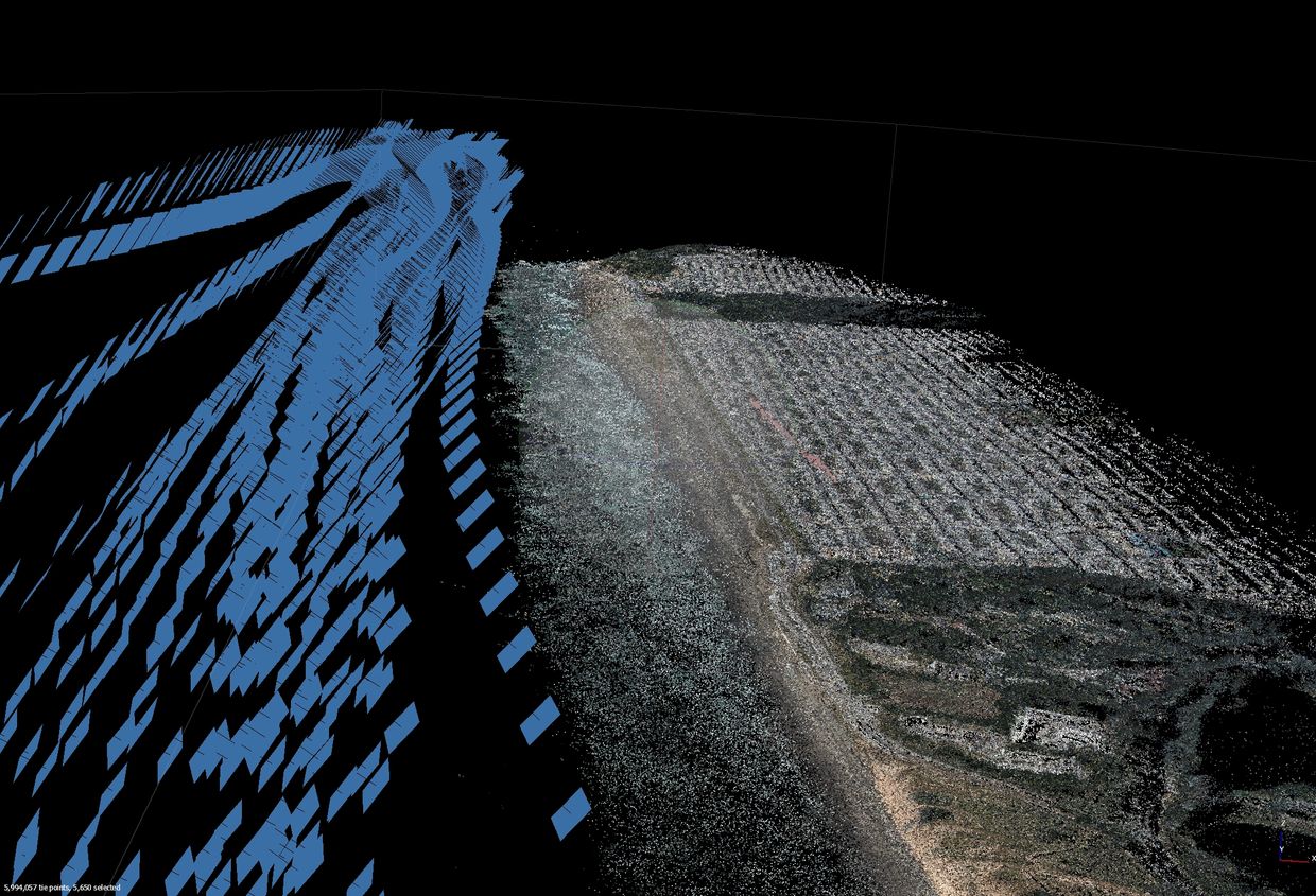
By finding common, recognizable features in multiple pictures—like a unique rock formation, a distinct crack in a cliff face, or a specific log on the beach—a specialized computer program can figure out the 3D location of those features.
To get the raw data for SfM, a plane or drone captures overlapping photos of a stretch of coastline.

After capturing a 3D model at one point in time, we can repeat the process a month later or after a major storm, beach nourishment...anything. Then we can compare the 3D models from different points in time. This allows us to calculate:
By repeating this process regularly, we can build a historical record to better understand what makes beaches grow and what makes them shrink.
We're developing a custom, community-driven monitoring program to track dune and beach change at Ocean Beach in San Francisco. Please reach out to get involved in this cutting edge citizen monitoring project!


